Private landowners, Oregon Parks and Recreation Department (landowner)
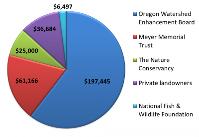
Funding
Summary
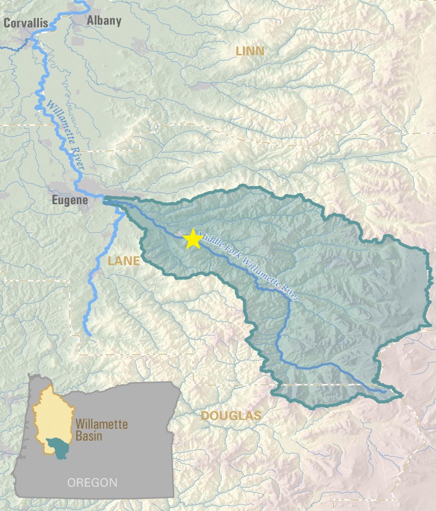
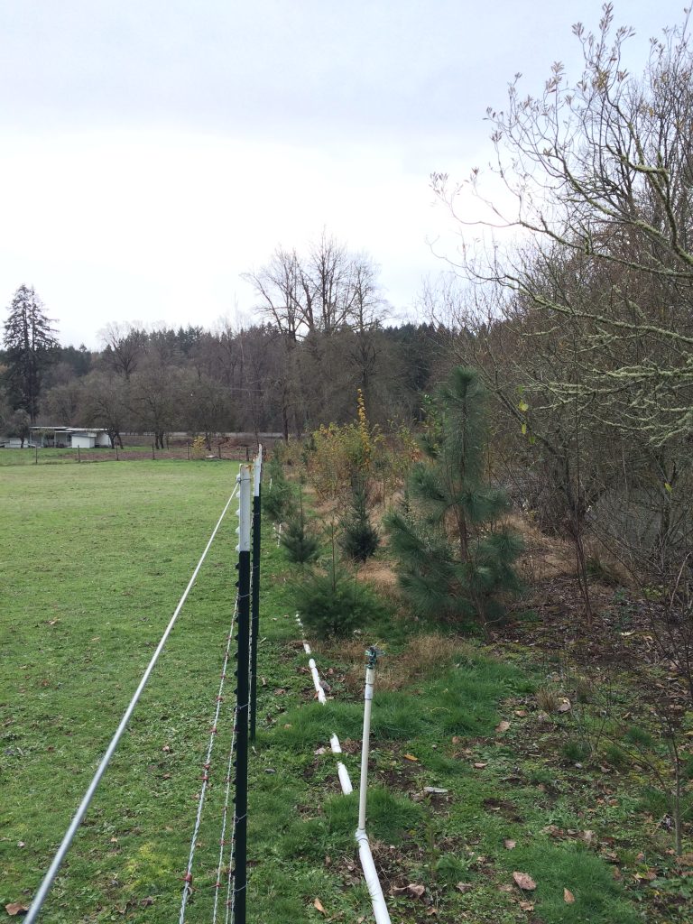
Lost Creek is a high priority restoration area within Middle Fork Willamette Watershed because it is one of only two undammed tributaries. The confluence of Lost Creek with the Middle Fork Willamette is just downstream from Dexter Dam, the first in a series of three large dams on the river. Lost Creek’s location means that it can provide an escape from the big water of the mainstem and access to better spawning grounds, which has led the Council to work here for many years removing invasive species along the streambanks and planting native riparian vegetation. The native vegetation provides better shade, keeping the water cool for fish. The native vegetation also provides great habitat for all kinds of terrestrial and avian species.
Photos
A contract crew plants native vegetation in Elijah Bristow State Park
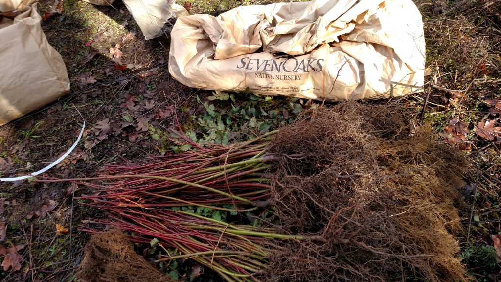
Bareroot plants ready to be planted along Lost Creek
Before restoration work, blackberries had taken over this stream bank.
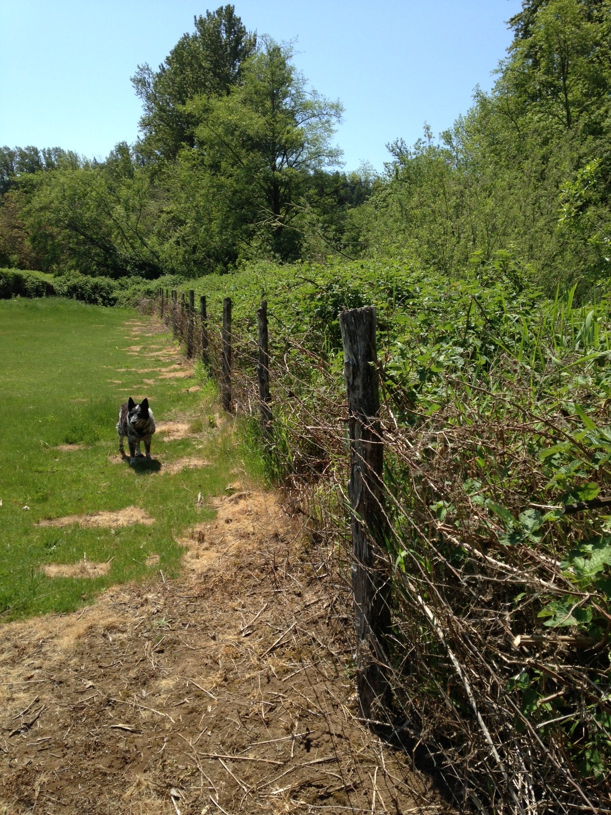
After the MFWWC restored this riparian area, the blackberries are gone, native species are growing well, and there is room for the landowner’s dog to run freely!
This site along Wagner Creek was extremely degraded and lacking native vegetation before restoration occurred.
Native riparian vegetation now dominates this streambank along Wagner Creek.